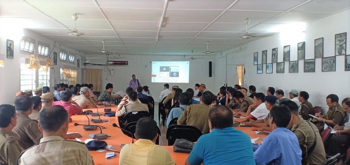
ITANAGAR, Sept 10: A month-long hands-on training was conducted jointly by state remote sensing application centre and officers from planning, finance & investment department (FPID) monitoring division on uses of ‘Satellite based monitoring & geotagging of developmental projects in Arunachal Pradesh’ here recently.
The hands-on interactive training including live demo for senior officers and field officers GoAP departments in two groups with FPID (monitoring) director Mokir Eshi Ori & deputy director Timothy Nima Dolum, SRSAC director Dr. H. Dutta as resource persons, who were assisted by joint director Tana Tage, technical consultant Ponung Boring, technical officers Neelam Sunil & Vikram Singh, technical assistants Hage Dipmala & Rotom Meelu, according to an official release.
Feedback and suggestions were taken from the trainees to develop solutions as the GoAP has announced making geotagging mandatory before obtaining financial concurrence by departments for any project proposal. Thus, a 26-day extensive training on the subject began on September 3 last. Such joint training was conducted in 18 districts earlier. More than 200 were trained at Pasighat too.
It may be mentioned here that satellite-based monitoring and geotagging of departmental projects application has been developed on very high resolution satellite imageries and geotagging work sites using mobile device, which works both offline and on line mode in internet zone as a one-stop solution platform for various stakeholders.


 20