
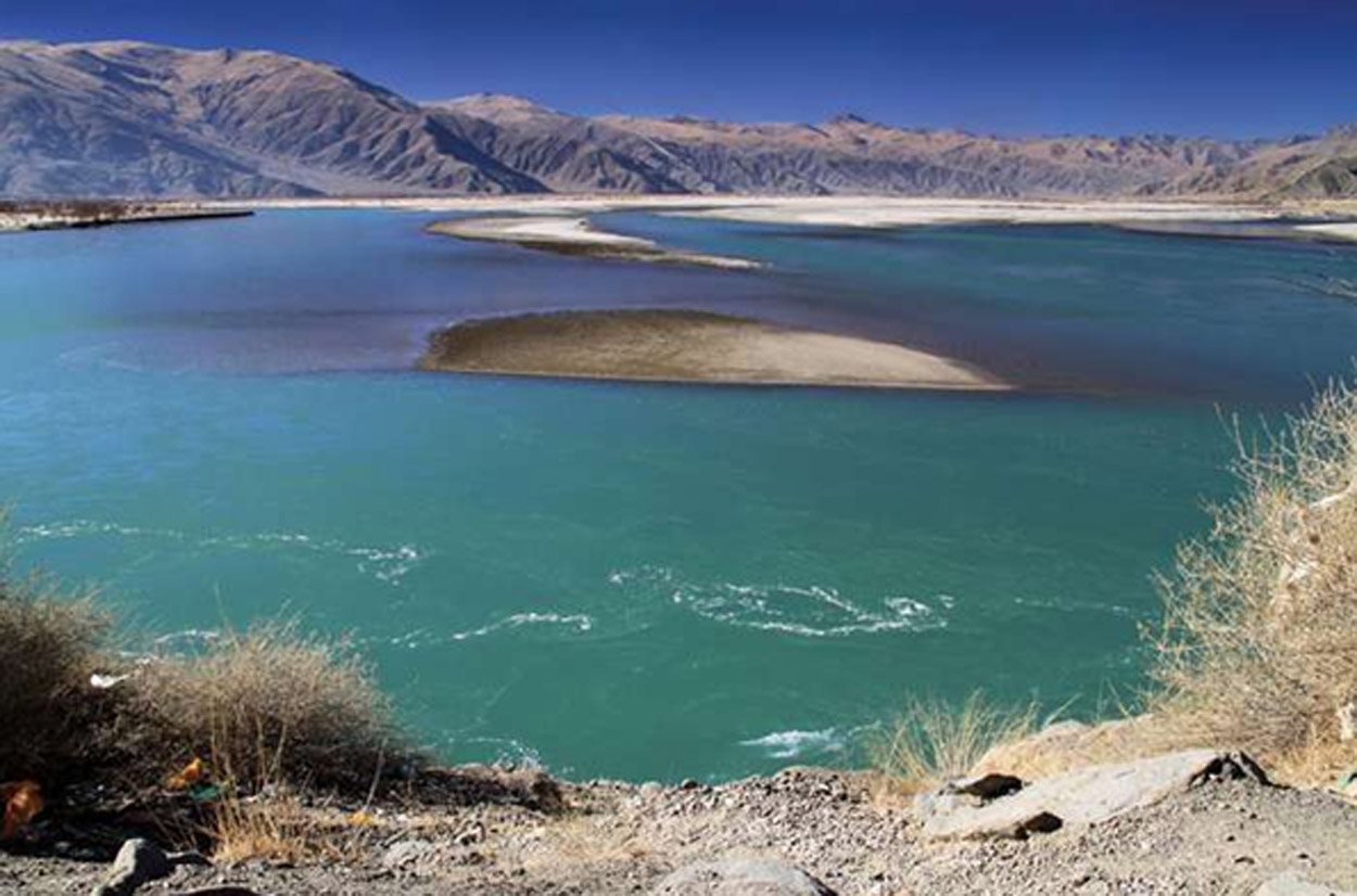
Beyond the Horizon
By Pradeep Kumar
With China continuing dam-building activities close to the Indian border, some analysts have warned that damming the Brahmaputra could potentially develop into another flashpoint.
There are many examples of nefarious activities of Beijing whose proofs had surfaced in this mighty river while Sing swelled up in 2000 after breach of an artificial dam in Yarlung Tsangfo and 30-metre high flood water of Siang had entered centurion town of Pasighat during midnight leaving a trail of devastation and killing seven people. Moreover, Siang water had turned totally muddy on few occasions creating fear psychosis among the people.
I had broken the news to the world about drying up of Siang River through ANI around 11.30 pm on 29.02.12 by quoting then GoAP spokesman Tako Dabi. Though then External Affairs Minister SM Krishna had informed Parliament about the a am, but Chinese external affairs ministry spokesman Hong Lei on 02.03.12 had clarified on Dabi’s stand by admitting that China had built a ‘run-of-the-river’ dam over the Tsangpo which would have no downstream effect.
But environmentalist says that the said dam reportedly allows only 30% flow downstream and rest 70% is used for generating power and other purposes.
It may be recalled that Hong Kong based South China Morning Post, in October 2017 report had said: “Chinese engineers are testing techniques that could be used to build a 1,000-km longest tunnel in the world to divert water from Yarlung Tsangfo to the parched Xinjiang region.” China, however, had denied the report, terming it “false, untrue”.
As I have been repeatedly terming China as dog’s tail which could not be straightened, as China’s blatant lies in informing too late about the COVID-19 that had emerged from Wuhan city was exposed to the world. China cannot be believed under any circumstances, particularly anything relating to India. Thus, New Delhi mandarins should be careful about Bejing’s move to tinker with the river.
Yarlung Tsangpo, originating from Angsi Glacier in western Tibet, southeast of Mount Kailsah and Lake Manasarovar, flows along southern Tibet Autonomous Region. Throughout its upper course it is generally known as the Tsangpo (purifier or Yarlung Zangbo in Chinese) receives a number of tributaries On left-bank in Tibet many tributaries join, namely Raka Tsangpo), Lhasa (Kyi), Nyang Qu (Gyamda) and Nyang Qu (Nyang Chu) River on the right bank. It breaks through the Himalayas crossing Namcha Barwa in a series of rapids and cascades and passes through a deep gorge called Grand Canyon (world’s largest and deepest) before entering Arunachal Pradesh as Siang.
Lohit and Dihang Rivers join before it descends into a low-lying basin as it enters northeastern Assam state as Brahmaputra, however, it receives several rapidly rushing Himalayan streams, including Subansiri, Kameng, Bhareli, Dhansiri, Manas, Champamati, Saralbhanga, and Sankosh Rivers besides Burhi Dihing, Disang, Dikhu and the Kopili, the meandering tributaries from the hills and the plateau.
It enters Bangladesh as Jamuna merges with Padma in vast Ganges Delta to get the name Meghna River before emptying into the Bay of Bengal.
Brahmaputra, only male river of India, is 9th largest by discharge, and the 15th longest (4,696-km) in the world, boasts of its huge, hydrology, plant and animal life (rare one-horned rhinoceros are seen swimming in its water), inter-woven with socio-economic life of people and great source of navigation and transport. The upper course of this trans-boundary river was explored in 18th century by Indian surveyor Kinthup (reported in 1884) and.F. Needham in Assam in 1886 established the Tsangpo River as upper course of the Brahmaputra. Various British expeditions in the first quarter of 20th century explored the Tsangpo upstream in Tibet to Xigazê, as well as the river’s mountain gorges. More-recent scientific work has concentrated on understanding the hydrology of the Brahmaputra for watershed management and flood-hazard mitigation.


 20