* Lowang for multi-use land mapping
ITANAGAR | Jul 08 | Deputy Chief Minister, Chowna Mein mooted the idea of for using remote sensing technology (RST) to identify suitability of land across the state for different crops.
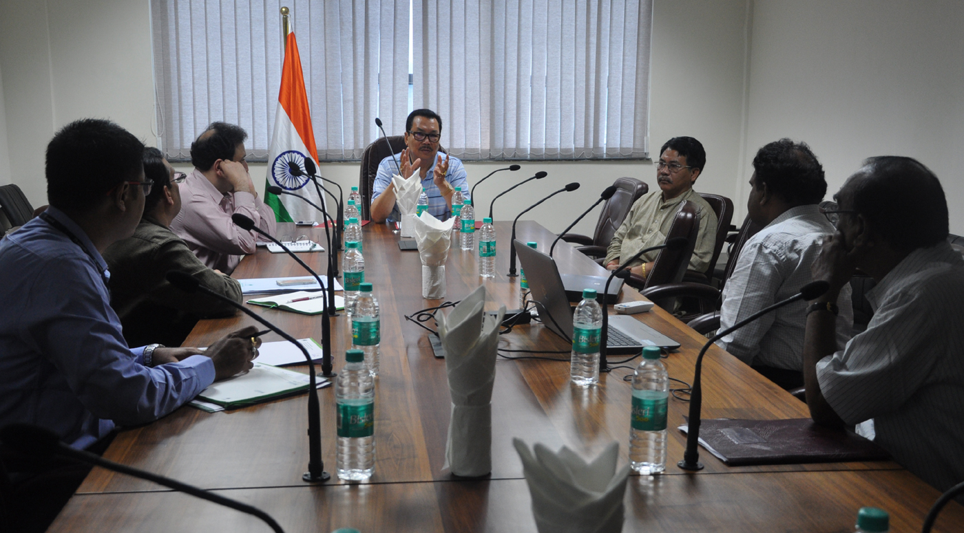
He gave the idea during a meeting with Hyderabad-based RSI chief executive officer of remote sensing instruments B V Raman Kumar here Friday evening.
He said that as of now, state farmers have been blindly cultivating without any geomorphological mapping till now leading to failures in cash crops and causing losses. He said that RST could be an effective tool for future planning in agri-horticulture sector. He urged Agriculture Minister Wangki Lowang, also present, to conduct another meeting with RSI and NABARD officers to get required data by allowing RSI to conduct land mapping of the state to serve as an effective planning reference.
After asking Kumar about possibilities of giving data on available ground water and mineral resources, Lowang proposed to obtain multi-use land mapping on available resources from RSI.
Highlighting RSI activities, Kumar assured to make a land suitability map for the state on ground water and other natural resources. He disclosed that the RSI has prepared more than 500 such jobs across India, including cadastral survey of Itanagar, major towns, topographical survey of dam sites and power houses in this state.
Development & finance commissioner Ashish Kundra, NABARD GM Dr Gyanendra Mani, RSI soil consultant Dr B R M Rao, among others, were present.(PRO)


 20