Maintaining its adamancy to prolong border dispute with India, a large contingent of People’s Liberation Army (PLA) personnel had reportedly intruded few kilometers inside Indian territory at Taksing in Upper Siang district of Arunachal Pradesh, but returned the next day, as reported by this daily on April one last, quoting eyewitnesses.
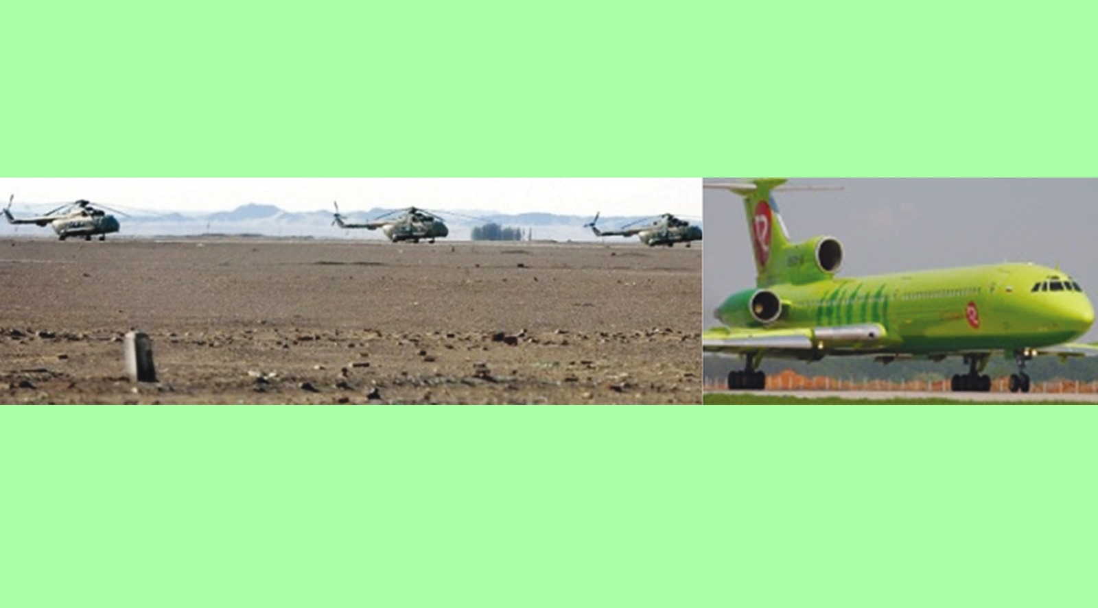
Again, two PLA helicopters were seen hovering over Barahoti region of Uttarakhand’s Chamoli district on June 3 last as reported by a news agency.
China defended PLA helicopters hovering over Barahoti region of Uttarakhand’s Chamoli district, saying India and China have a territorial dispute in the eastern section of their boundary and the Chinese military carry out regular patrolling in the relevant areas.
While the details can be obtained from the Ministry of Defence, “in principle China and India have territorial disputes in the eastern section of the China-India border, Chinese Foreign Ministry spokesperson Hua Chunying told the media when asked about reports that PLA helicopters violated Indian airspace on June 3 last.
“The Chinese military carry out regular patrolling in the relevant areas. We hope that the two sides will make joint efforts to maintain tranquillity and peace in the border areas,” Hua said.
But the incident had triggered concern in India’s security establishment about the PLA’s fourth such incursion into Indian airspace since March this year.
Official sources in New Delhi said the choppers, which returned to the Chinese side after about five minutes, could have carried out aerial photography of Indian ground troops during what was possibly a reconnaissance mission.
The IAF is probing the incident, an IAF source said, adding the choppers were identified as the Zhiba series of attack helicopters.
On previous occasions, Chinese helicopters had entered 4.5-km into Indian territory, an area that China claims as its own and recognises as Wu-Je.
Barahoti is one of three border posts in the sector, comprising Uttar Pradesh, Himachal Pradesh and Uttarakhand, where ITBP jawans are not allowed to carry weapons and are in civilian clothes under a unilateral decision taken by the GoI in June 2000.
In 1958, India and China listed Barahoti, an 80-sqkm sloping pasture, as a disputed area where neither side would send their troops. In the 1962 India-China war, the PLA did not enter the 545-km middle sector, focusing on the Western (Ladakh) and Eastern (Arunachal Pradesh) sectors.
However, after the 1962 war, ITBP jawans patrolled the area with weapons in a non-combative manner, under which the barrel of the gun is positioned downward.
During prolonged negotiations on resolving border disputes, the Indian side had unilaterally decided in June 2000 that ITBP troops would not be carrying arms to three posts – Barahoti, Kauril and Shipki in Himachal Pradesh.
India-China border dispute covers 3,488-km long Line of Actual Control (LAC). While China claims Arunachal Pradesh in the Eastern Section as Southern Tibet, India asserts that the dispute covered Aksai Chin area which was occupied by China during 1962 war.
JNU (Chinese studies) Prof Srikanth Kondapalli termed these transgression as “testing the nerves” of India and said “after violating the LAC in the Western and Eastern sectors, Chinese troops now seem to be focusing on the middle sector. “It’s a cause of worry for us”.
He said after the June 2000 informal agreement, India did abide by all conditions under the assumption that China would yield on the western or eastern sectors. “But that didn’t happen. People’s Armed Paramilitary Force(PAPF) and PLA today re enforcing China’s claims there,” he said.
Kondapalli referred to regional equations giving a China a boost. He recalled that Nepal and India had differences on the source of the Mahakali river and in the background of China’s forays in Nepal as well as the latter joining the China-led One Belt One Road (OBOR) project, and said, “There have been some moves by the PLA to test us”.
He said there had also been “a concerted effort” by the PLA “to test India” against the backdrop of the China Pakistan Economic Corridor (CPEC), a collection of infrastructure projects.
“So the latest intrusion is to test our nerves,” he said.
He even said China could deploy unmanned aerial vehicles in this region in “large numbers” to monitor Indian territory.
Hinting at “the helicopter incident is a precursor,” he said that “A recce mission?”
Security officials here felt that ahead of its transgression in the Barahoti area, the PLA could have conducted a reconnaissance mission using high class aircraft with synthetic aperture radar (SAR), which provides broad-area imaging at high resolutions.
The officials said the PLA’s ‘TupolovTu 153M’ aircraft had carried out two or three reconnaissance missions last year in the middle sector.
They said there was a possibility that the same aircraft, designed by Chinese companies on the basis of technology obtained from the former Soviet Union, could have been used this year, too.
The aircraft flies at an altitude of above 40,000 feet and can go up to 60,000 feet to avoid detection by radars and can take photographs and cyber and communication signatures from that height.
SAR enables the taking of high-resolution pictures even in inclement weather or in the dark.


 20