
Why not maintain lungs of the globe status?
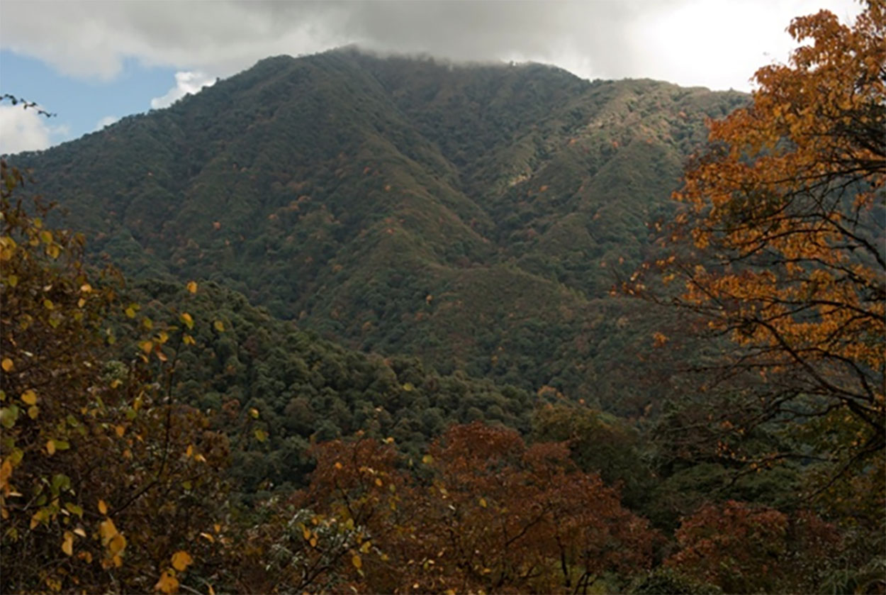
Arunachal Pradesh, with over 50,000 sqkm of moderate to very dense forests, is equivalent to 550 million cubic metre growing stock or living assets (equivalent to 2000 million metric tons of carbon dioxide) that serves as one of the major ‘carbon sinks’ or lungs of the globe. Thus, this Himalyan state is one of the 25 biodiversity hotspots of the world but has lost at least 70% of their original the RFA (51,407 sqkm including 10,589 sqkm reserved forest, 9,779 sqkm protected forest and 31,039 sqkm is unclassed forest. Total of 451.37 hectares of forest land was diverted for non-forestry purposes during 01.01.15 to 05.02.19 while India’s total forest cover has increased by 0.56% over the last two years, as per 2019 MoEF&CC survey report.
The process could be reversed only if the mankind cares for the Mother Earth, stop wanton destruction of forest, consume less fossil fuel and adopt mechanism for waste management. The sooner a golden mean between the development-triggered destruction and conservation is struck the better.
Present GoAP led by Chief Minister Pema Khandu has taken many visionary decisions never taken in the past, many senior GoAP officers claimed with confidence. Then why not bold steps to maintain the status of lungs of the universe?
By Pradeep Kumar
Arunachal Pradesh, Mizoram, Assam, West Bengal, Odisha, Jharkhand and Bihar, all in eastern part, and Chandigarh in central India are eight states of India most vulnerable to climate change which need prioratising adaption interventions.
Larger part of India is most vulnerable to climate change, reveals a study by Indian Institute of Guwahati & Mandi and Bangaluru-based Indian Institute of Science (IISC). The study also revealed 60% of 612 districts (covering the same geographical area as the current 718) assessed are in Assam, Bihar and Jharkhand, in that order. Of 100 vulnerable districts to climate change, 24 are in Assam with Karimganj topping the list.
Tamil Nadu and Kerala are among seven states which are least vulnerable, but there is more to meet the eyes. The vulnerability index (VI) of these states range from lowest 0.419 for Maharashtra to 0.419 for Uttarakhand is on the higher side, the experts involved in the study said.
The report on “Climate change vulnerability assessment for adaptation planning in Indian using a common framework” published recently, was conducted in 2019-20 across 29 states “considering the erstwhile Jammu & Kashmir”. It was part of capacity building programme under National Mission on Sustaining the Himalayan Ecosystem & on Strategic Knowledge on Climate Change.
The major drivers for vulnerability of all states, included lack of forest area per 1,000 rural population & crop insurance, marginal & small operational landholding, low density of health workers, low participation of women in workforce, yield variability of food grains, and high proportion of population below the poverty line.
Jharkhand, which topped the vulnerability list of states with VI of 0.674, include high incidence of vector-borne diseases, high yield variability of food grains and low road & rail density as drivers.
Some of drivers were found relevant for 2nd place Mizoram. While this NE state had highest density of health workers per 1,000 population, but less than 8% of them were doctors. The primary issue with Odisha, which took 3rd spot, was prevalence of marginal & small operational landholdings.
“An analysis of 119 years of rainfall measurements at different rain gauge stations across NE India, has found a decreasing trend in summer rainfall since 1973, including in rainy Meghalaya, reputed for hosting the world’s wettest place (Cherpunji).
“The decline in rainfall is driven by changes in the Indian Ocean temperature and conversion of forestlands and vegetation cover to croplands in the last two decades. These long-term rainfall changes in the NE are responsible for the observed shift of world’s wettest place from Cherrapunji to Mawsynram (separated by 15-km) in recent decades. Mawsynram receives an average annual rainfall of 11,871 mm while Cherrapunji braces for torrential rains every year with an annual average at 11,430 mm.
“Since NE India is mostly hilly and is an extension of the Indo-Gangetic Plains, it is highly sensitive to changes in regional and global climate”, Scroll.in reported on 04.09.21.
Climate change, according scientists, would have far reaching consequences. All aspects of life including health, sports, agriculture and even culture will be affected in some way or the other.
The extremes like heat waves and storms may hit places, which have hitherto been witnessing moderate climate. It would lead to a rise in mean sea level by few meters due to melting of ice caps in the north which would inundate low-lying areas all along seashores. Existence of coastal countries like Maldives, Bangladesh will be in jeopardy.
Change in soil-moisture regime will eventually lead to a change in cropping pattern. The behaviour of monsoon will be affected to a great extent compelling the human societies living in monsoon zones to adjust their lifestyles to changed weather condition.
The climatic condition of this beautiful Capital Complex has undergone a sea change during the last few decades. Massive deforestation, earth cutting, massive landslides, shifting cultivation etc. have disturbed the ecosystem. Moreover, in absence of a waste management system, the garbage and waste collected by the urban development department are dumped along the riverbank and burnt regularly. All these are contributing to global warming though not visible to naked eyes. Cherpunji case should ring alarm bell for those who matter to take preventive steps.


 20