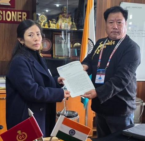
ITANAGAR, Sept 16: Aalo-based 2nd police battalion commandant Tume Amo along with his aged parents visited a border post, about 50-km from Mechuka located above 11,000 feet mean sea level, on Wednesday.
“The black-topped road driven by us was nice; natural scenery with stone clad mountains mesmerizing and crystal clear streams falling down, while the mountain named Hanuman Pahar was awe inspiring. But we had to rush back due to severing cold at the border post.” Amo said.
“My 90-year-old brother-in-law’s grandfather had rushed to Aalo on Thursday to see the mesmerizing Mechuka, truly the ‘Last Sangri La on Earth’, he said.
Mechuka or Menchukha, (in Memba dialect, Men means medicine, Chu means water-streams, rivers, etc. & Kha means snow) means “the land blessed with medicinal snow-fed water rivers & streams”. It is a sub-divisional town and an assembly constituency, located at 6,000 feet above sea level in Mechuka Valley, criss-crossed by Yargep Chu/Siyom River in Shi Yomi district and Tato is its HQs. It was known as Pachakshiri before the 1950s.
Menchuka, 29-km from Indo-Tibet border, separates Indian and Chinese territories by the Line of Actual Control (McMahon Line). Mechuka boasts of an Indian Air Force airstrip, whose runway was extended to 4,700 feet in 2017 to facilitate landing of AN-32 aircraft on 18.09.19. The town is also air-linked by helicopters under UDAN scheme.


 20